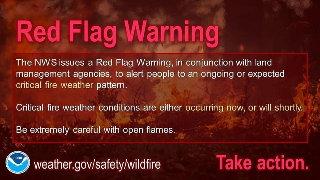
| The Fire Weather Watch is no
longer in effect.
* AFFECTED AREA...Carbon, Monroe, Berks, Lehigh, Northampton
* TIMING...Wednesday.
* WINDS...West 10 to 15 mph with gusts up to 30 mph.
* RELATIVE HUMIDITY...As low as 25 percent.
* TEMPERATURES...Afternoon high temperatures in the upper 70s to low 80s.
* IMPACTS...Critical fire weather conditions are expected. There
will be increased risk for rapid wildfire growth and spread.
PRECAUTIONARY/PREPAREDNESS ACTIONS...
A Red Flag Warning means that critical fire weather conditions
are either occurring now, or will shortly due to a combination of
strong winds, low relative humidity, and dry fuels. Any fires that
develop may quickly get out of control and become difficult to
contain.
For more information about wildfire danger, burn restrictions,
and wildfire prevention and education, please visit your state
forestry or environmental protection website. |